
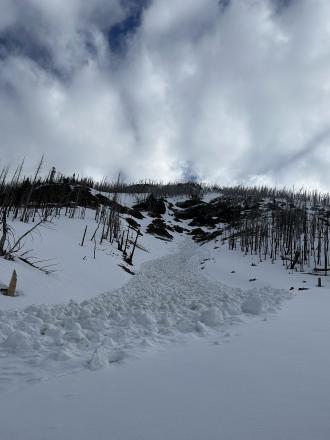
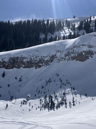
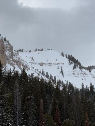
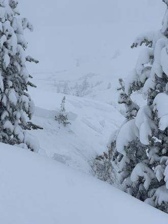
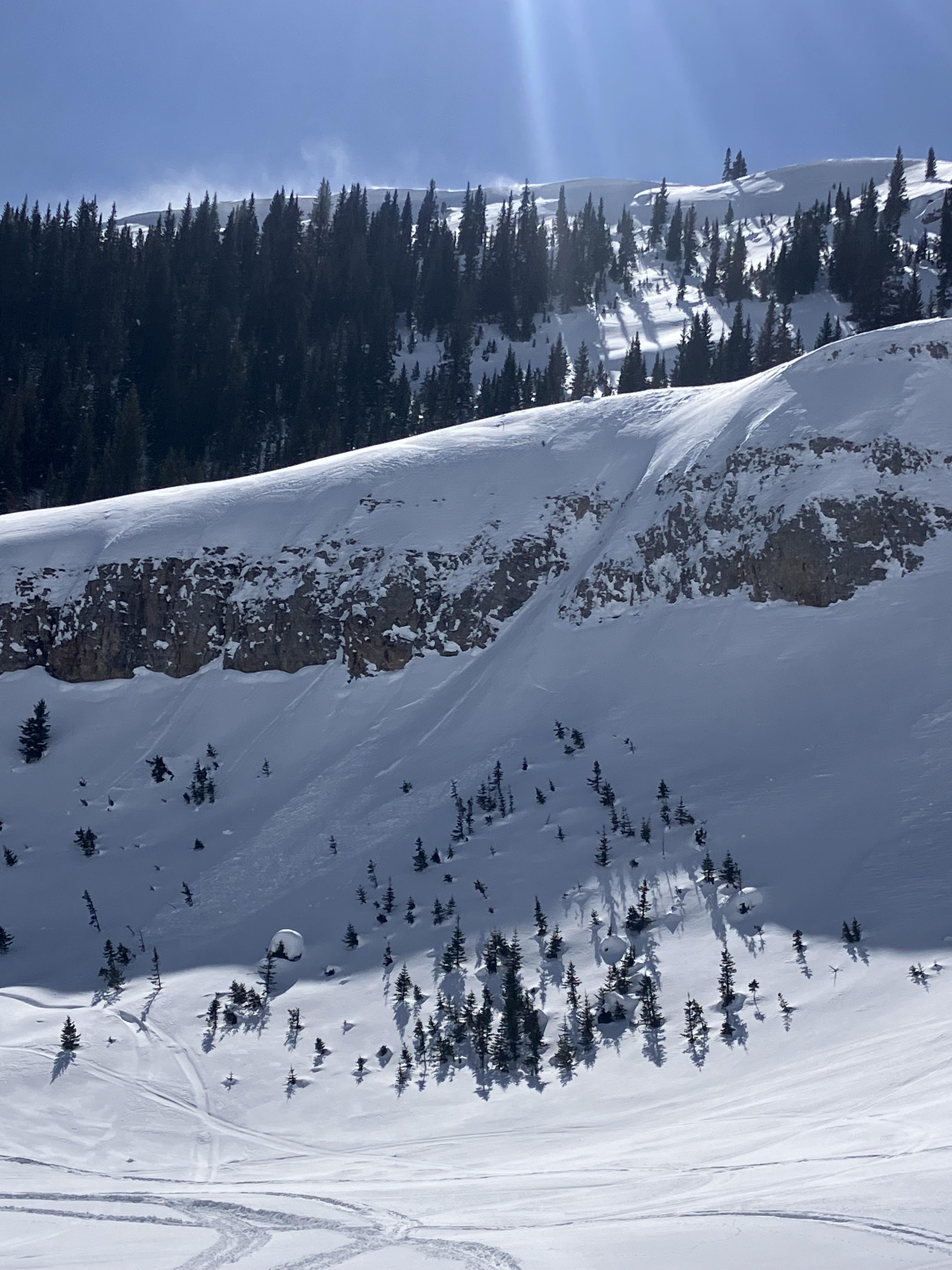
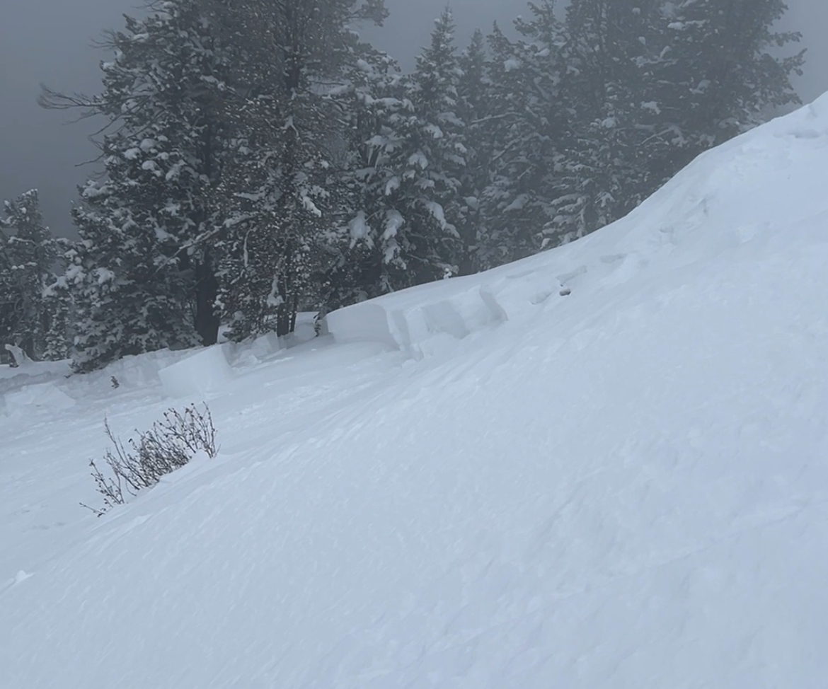
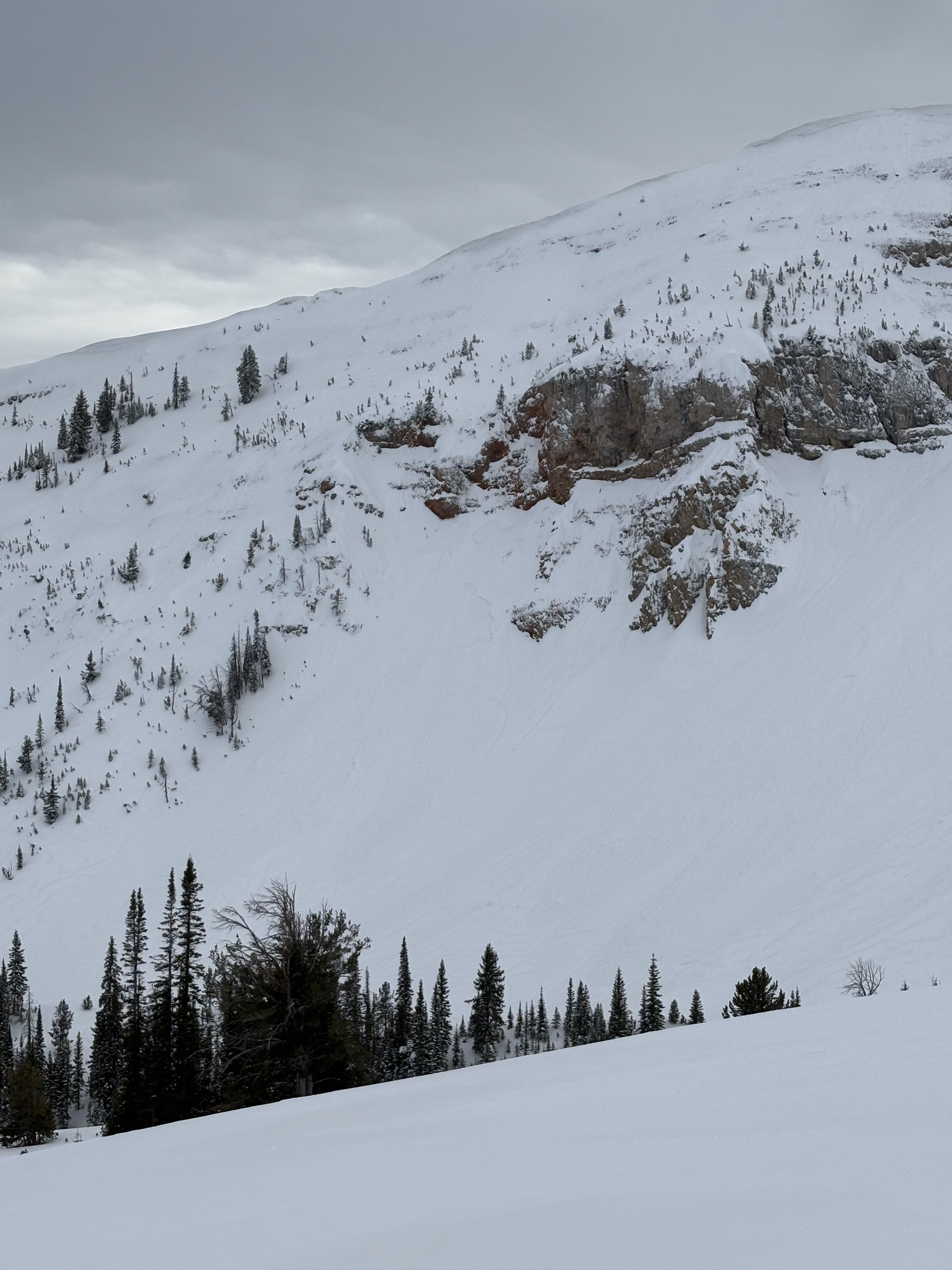
This wet loose avalanche is a great example of where they often occur. Rocks absorb extra heat from the sun and can quickly melt and destabilize the snow. Either move under areas like this early in the morning (as we did), or if you have to travel under them later in the day, move quickly.
Trip Planning for Lionhead Range

Primary Problem: None
Bottom Line: Spring weather can be highly variable and create a mix of avalanche problems to watch out for. Snow conditions and snow stability can change drastically from day to day or hour to hour. Anticipate rapid change and plan accordingly. Plenty of snowfall over the winter with more spring snow to come makes avalanches possible into summer.Past 5 Days
Mon Apr 21

None
None
Fri Apr 25
None
None
Mon Apr 28
None
None
Fri May 2
None
None
Mon May 5
None
None
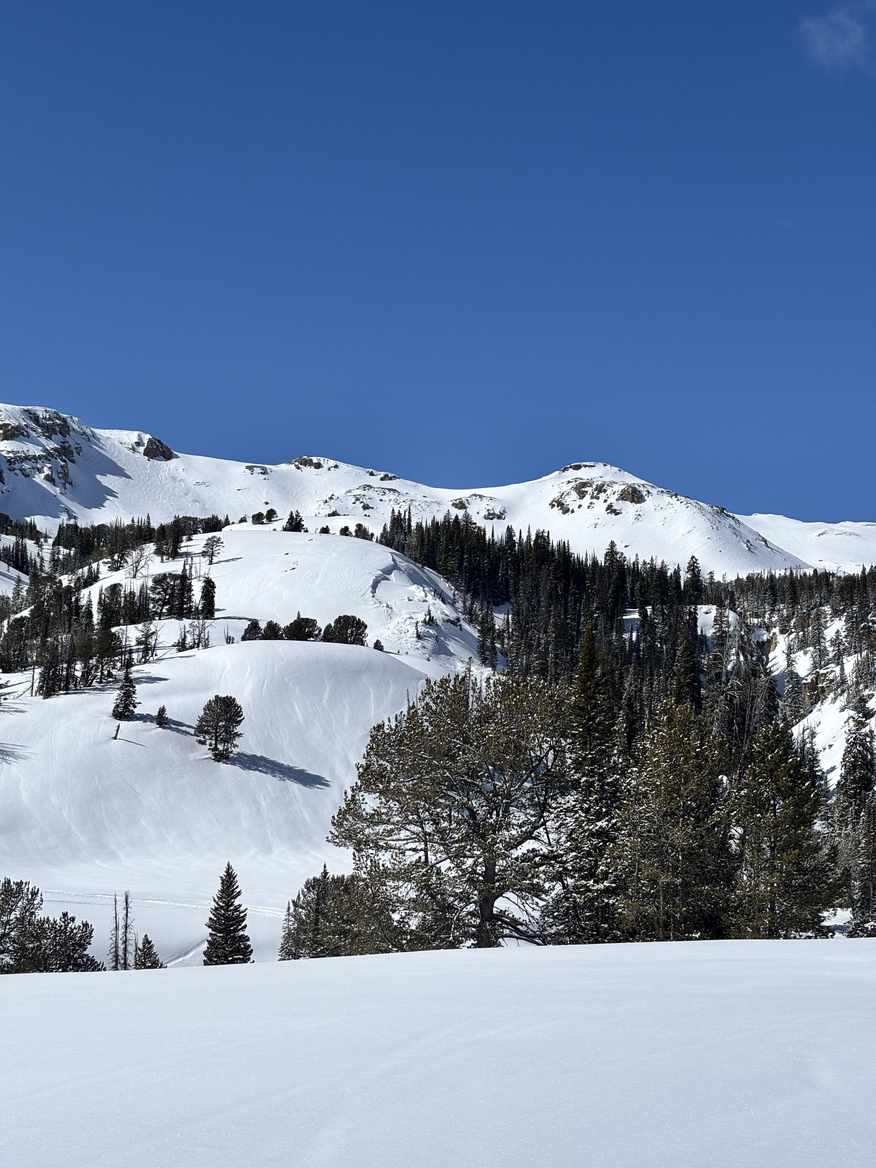
Relevant Photos
Displaying 1 - 40
-
-

Understanding Avalanche Safety Preparedness – 5-Minute Survey for Motorized Users
We need your input! Eastern Oregon University is conducting a survey to better understand avalanche safety preparedness among motorized backcountry users like you. Your feedback will help us learn more about who is purchasing and practicing with avalanche rescue gear (beacon, probe, shovel) and participating in avalanche education—and why some riders aren’t. The survey is confidential and anonymous.
Your feedback is invaluable in improving avalanche education and awareness. Please take a moment to share your experience and help us make a difference.
https://eoustmhs.qualtrics.com/jfe/form/SV_3L8QKAuZzcxJBLo
Thank you for your time and for being a part of this important effort!
-
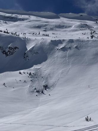
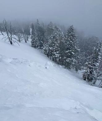
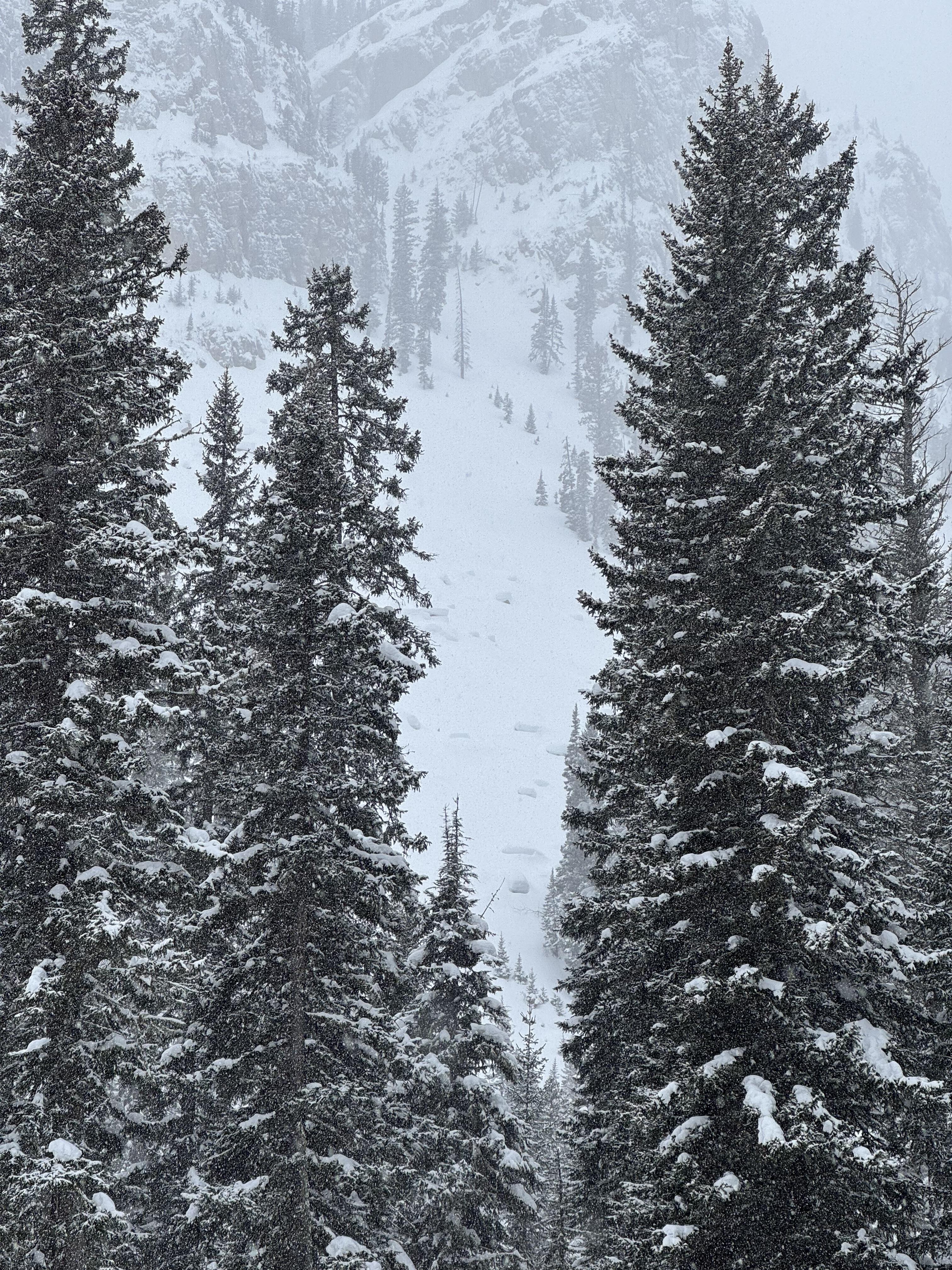
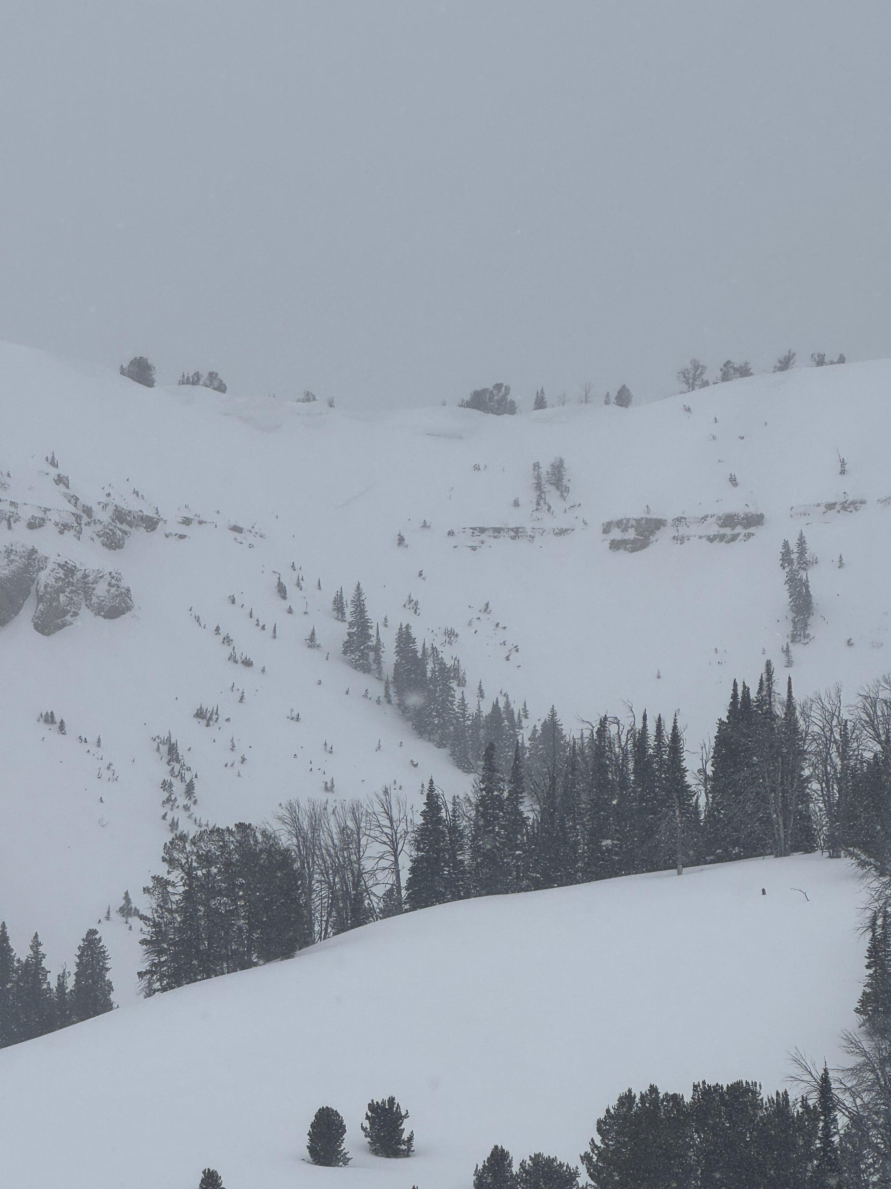
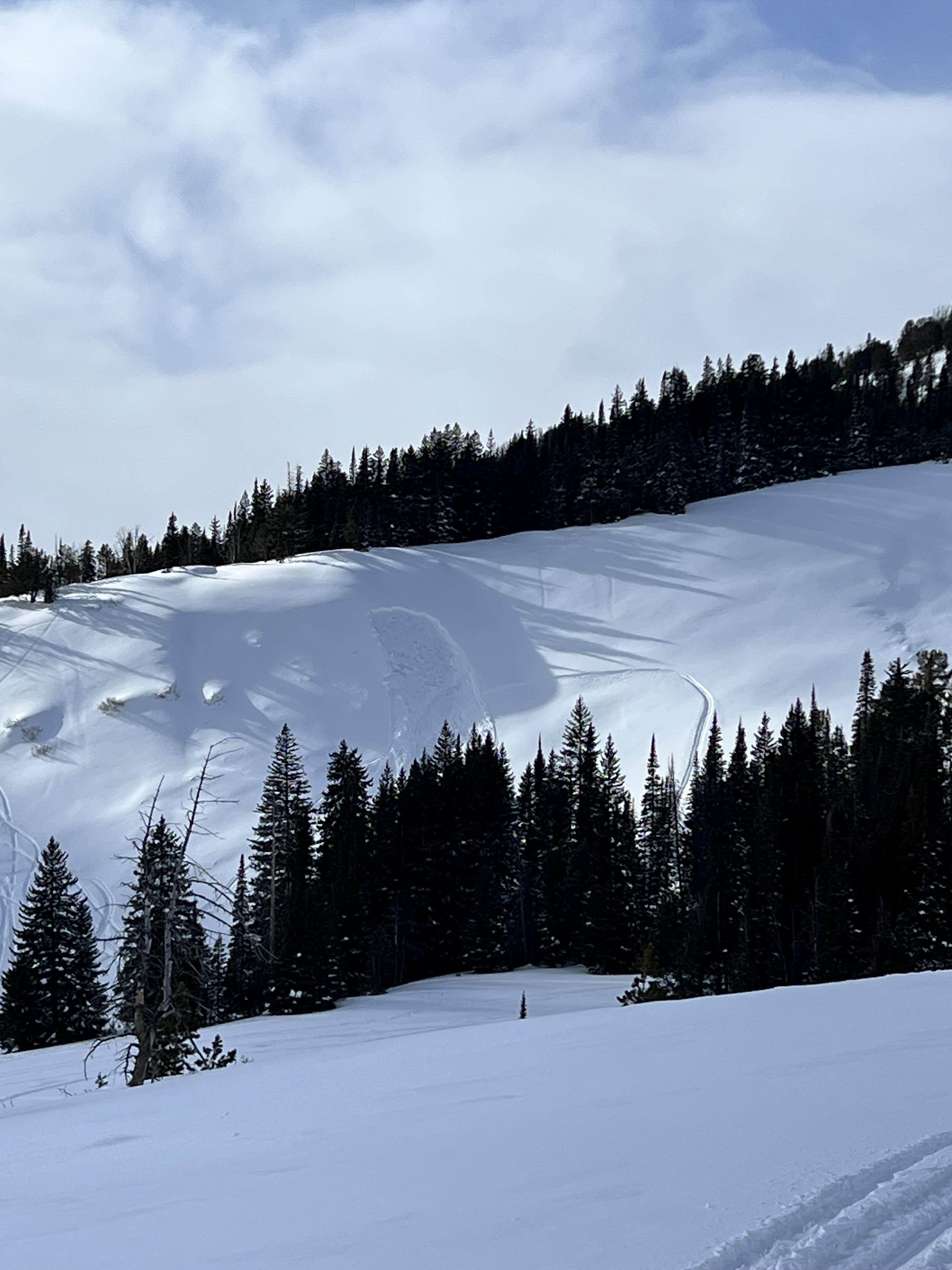
Large chunks of debris from a natural avalanche in Targhee Creek. Photo: GNFAC
-
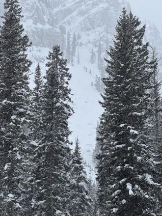
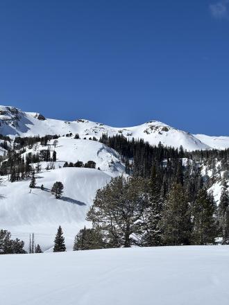
We saw many crowns of wind slab avalanches along Lionhead Ridge. Photo: GNFAC
-
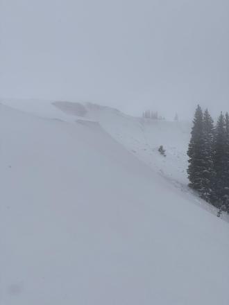
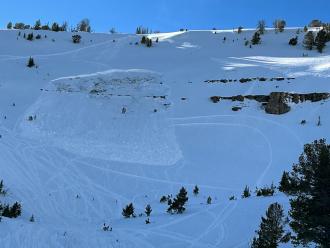
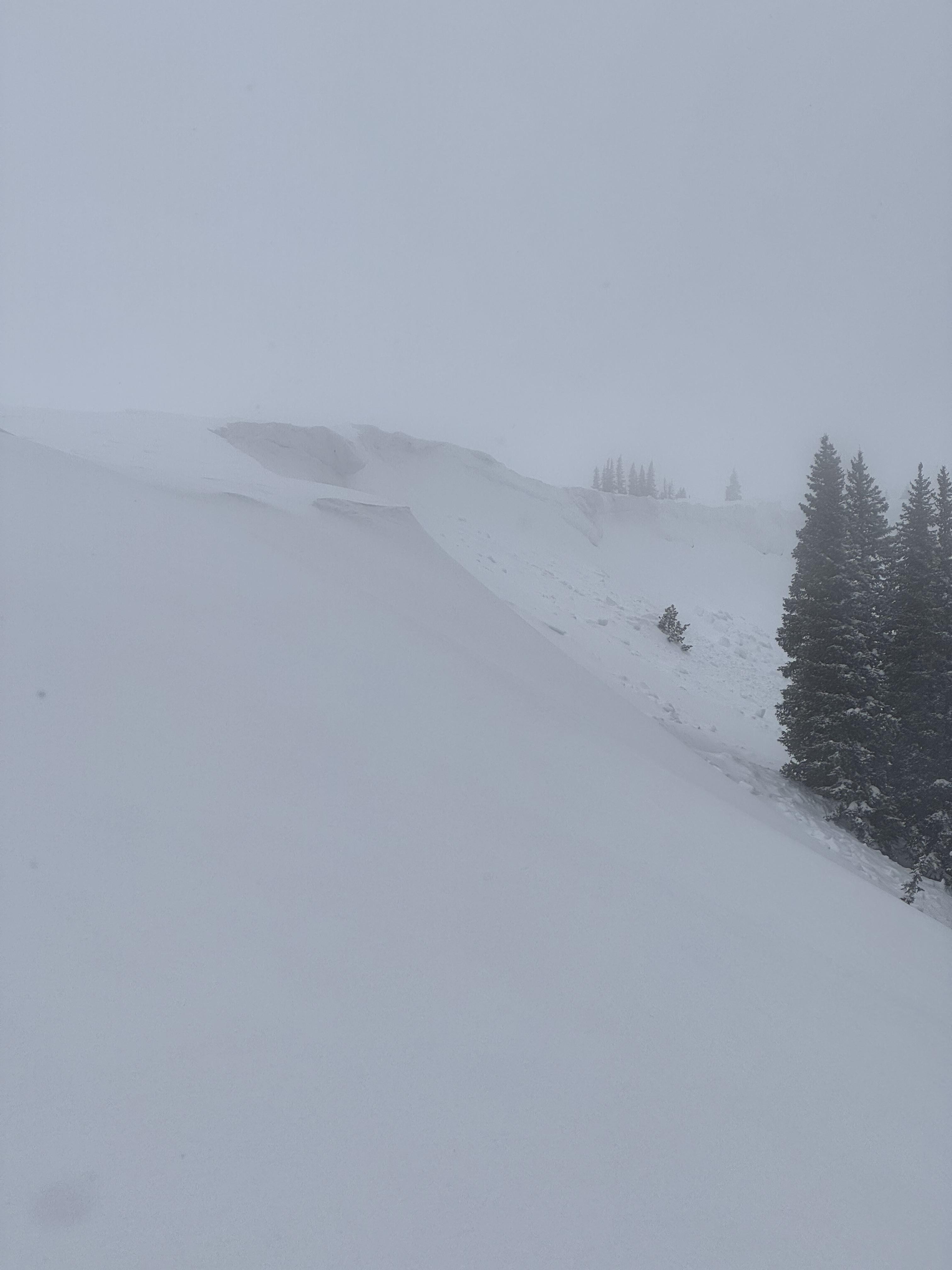
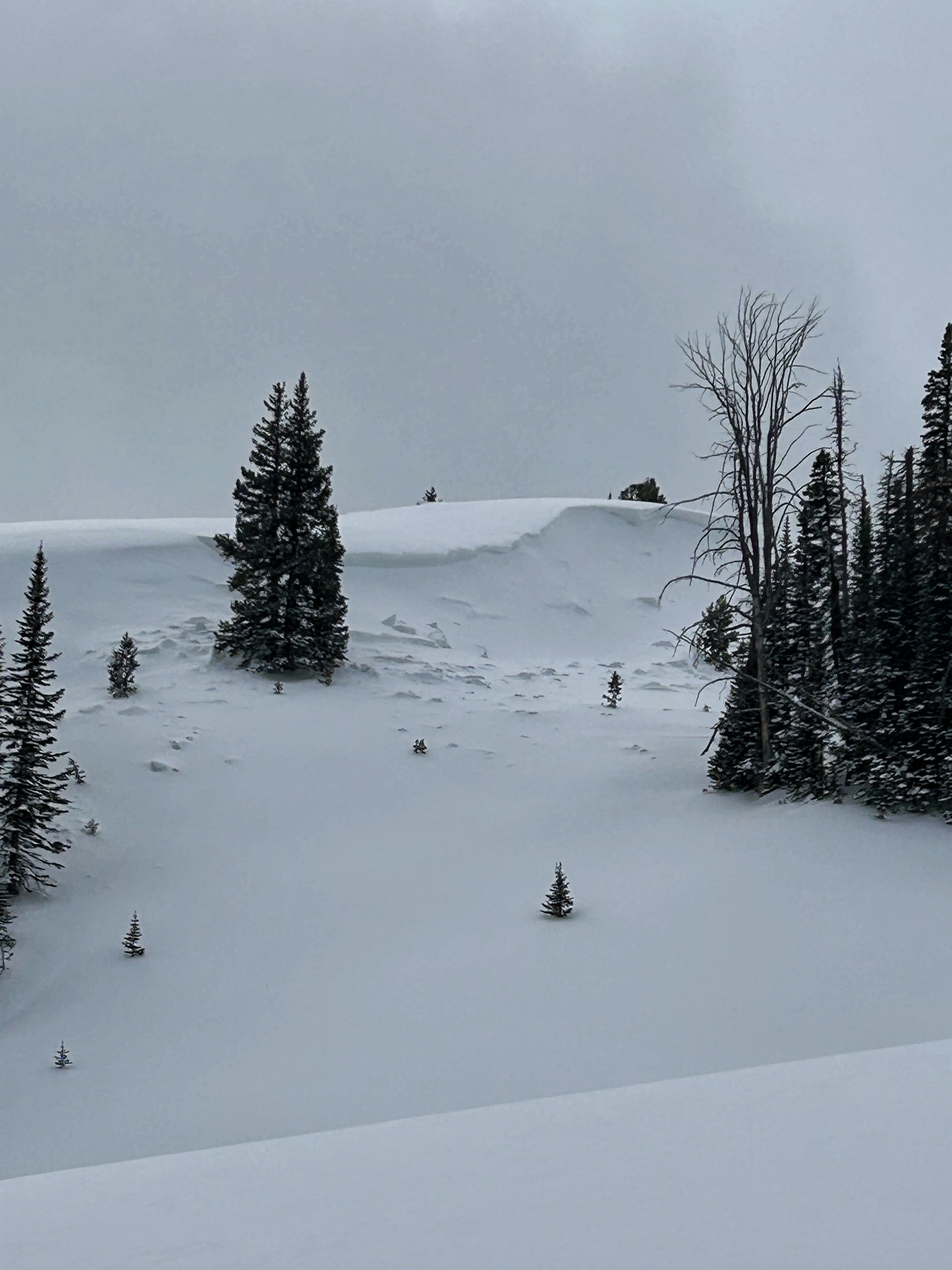
Cornice collapse and small avalanche at the start of Lionhead Ridge. Photo: GNFAC
-
Mar 9. We rode out Lionhead Ridge... there were two or three shallow small wind slabs below Lionhead Ridge. Photo: GNFAC
-
Mar 9. We rode out Lionhead Ridge... there were two or three shallow small wind slabs below Lionhead Ridge. Photo: GNFAC
-
From obs: "Looks like a recent naturally triggered slide towards the Idaho wilderness boundary on lionhead."
Photo: M. Klahr
-
Airplane bowl this afternoon after a rider triggered slide. There is a down track in the middle of the crown face
-
Airplane bowl this morning, no avalanche
-
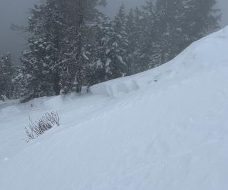
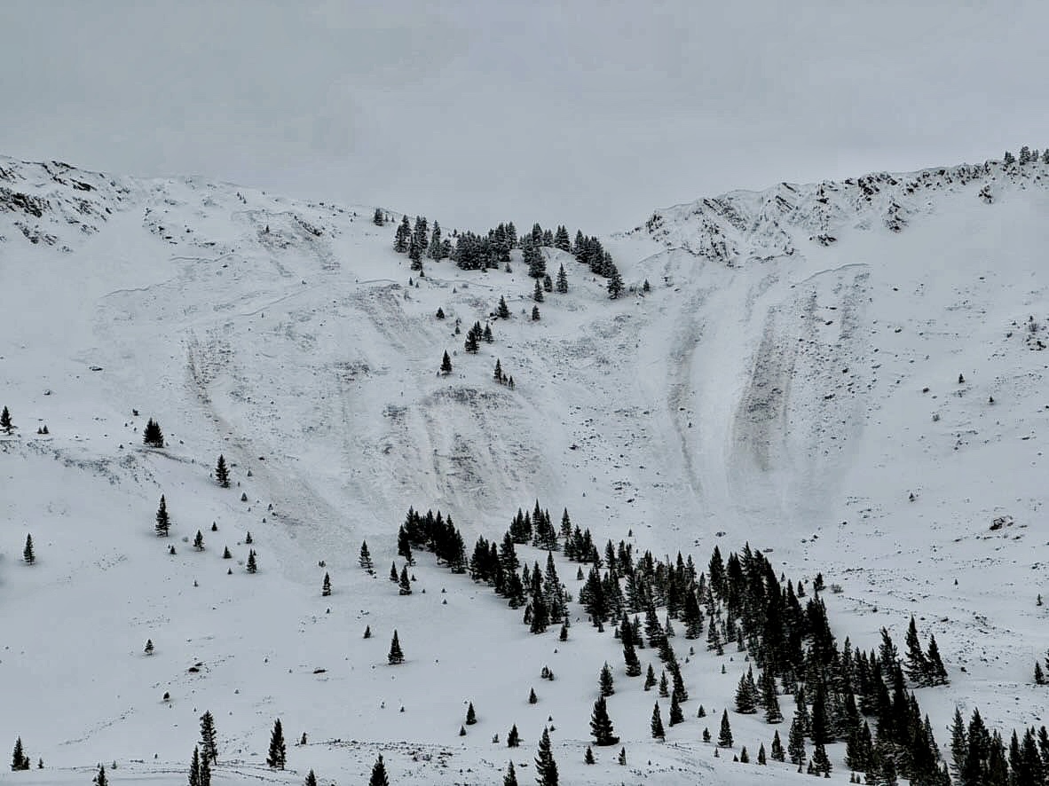
A rider triggered a huge avalanche in the uppermost reaches of Targhee creek on a north facing slope at 9200'
-

A rider triggered a huge avalanche in the uppermost reaches of Targhee creek on a north facing slope at 9200'
-
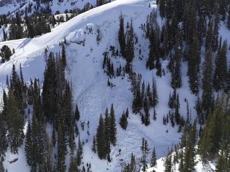
A rider triggered a huge avalanche in the uppermost reaches of Targhee creek on a north facing slope at 9200'
-
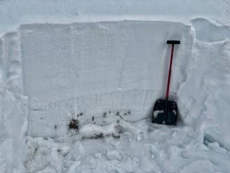
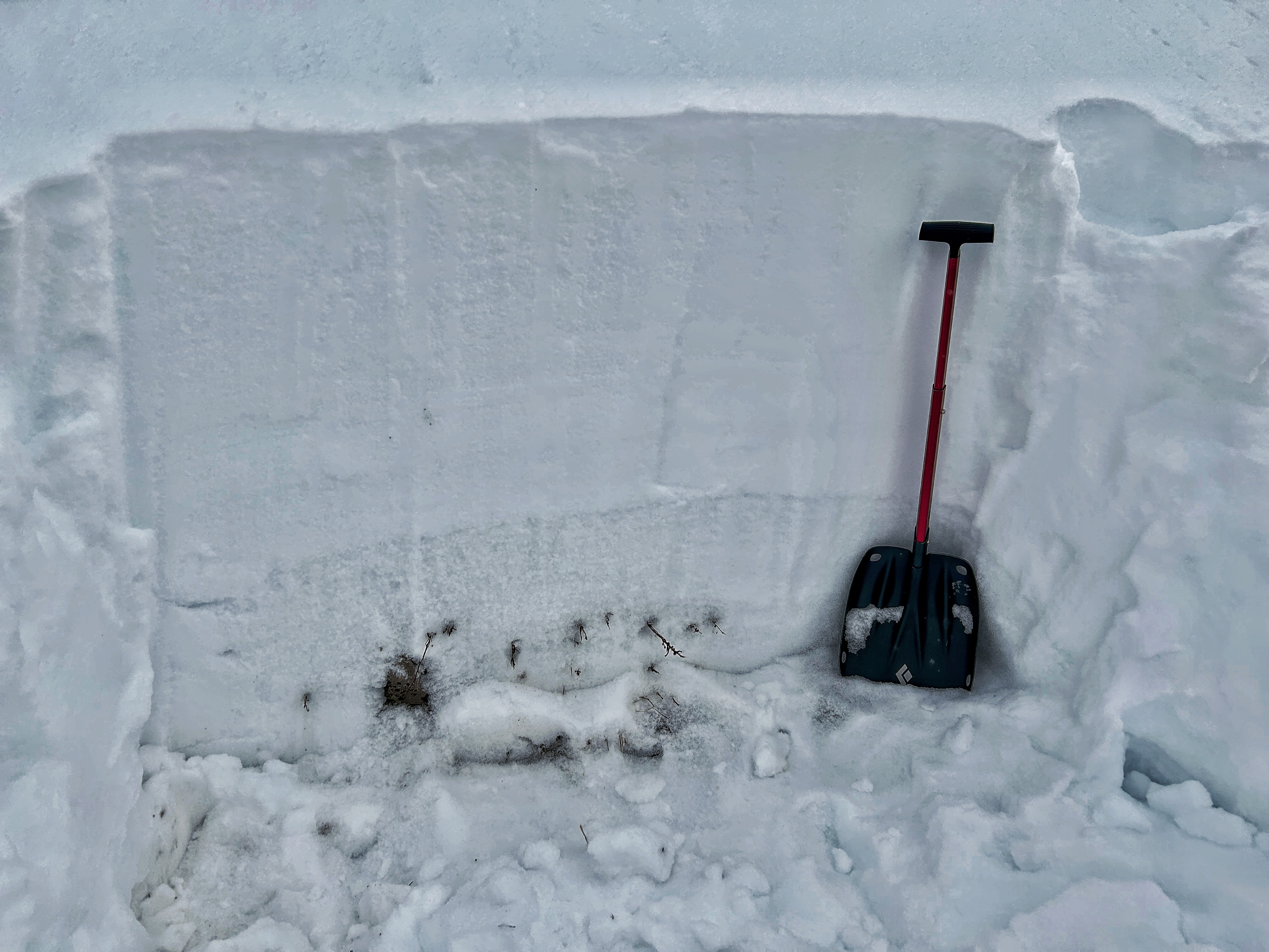
At Lionhead a weak layer generally 2-3 feet deep is obvious in this snowpit wall.
-
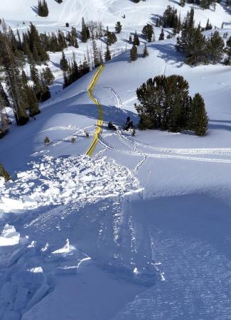
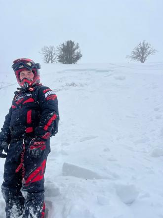
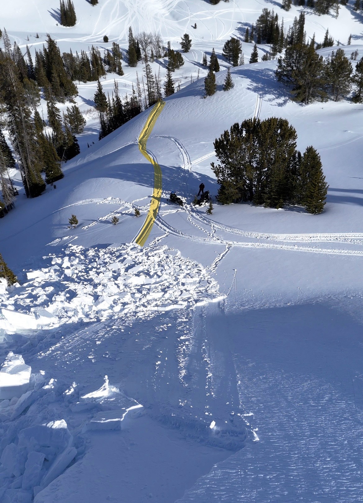
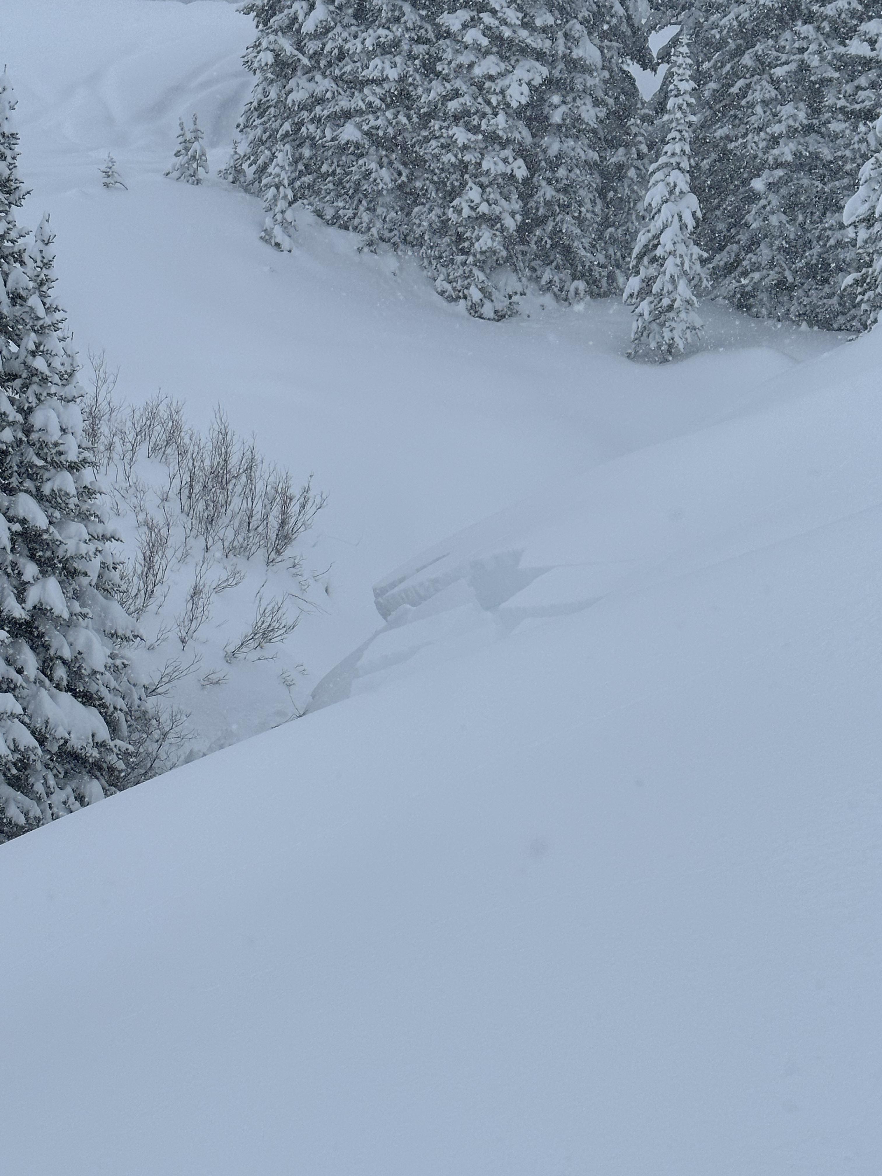
Remotely triggered the avalanche from 150 feet away. It broke 200' wide and 1-3 feet deep. It ran an estimated 200' vertical feet
-
Remotely triggered the avalanche from 150 feet away. It broke 200' wide and 1-3 feet deep. It ran an estimated 200' vertical feet
-
From FB message: "Small slide in lower elevation back by lionshead"
-
From obs: "We saw this today after it happened. Looked like a snowmobile triggered it. I believe it is mostly south facing." Photo: D. Haluptzok
-
We saw two recent shallow wind slab avalanches. No recent slides breaking deeper.
This one at NE 9000' -
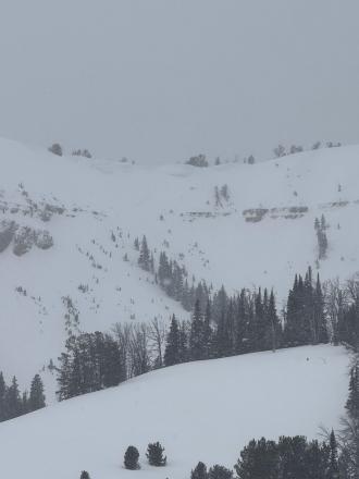
Plenty of wind slabs ranging in size on Lionhead ridge and on surrounding slopes. Photo: Riley
-
Plenty of wind slabs ranging in size on Lionhead ridge and on surrounding slopes. Photo: Riley
-
Plenty of wind slabs ranging in size on Lionhead ridge and on surrounding slopes. Photo: Riley
-
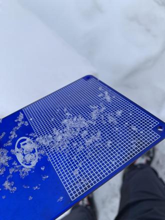
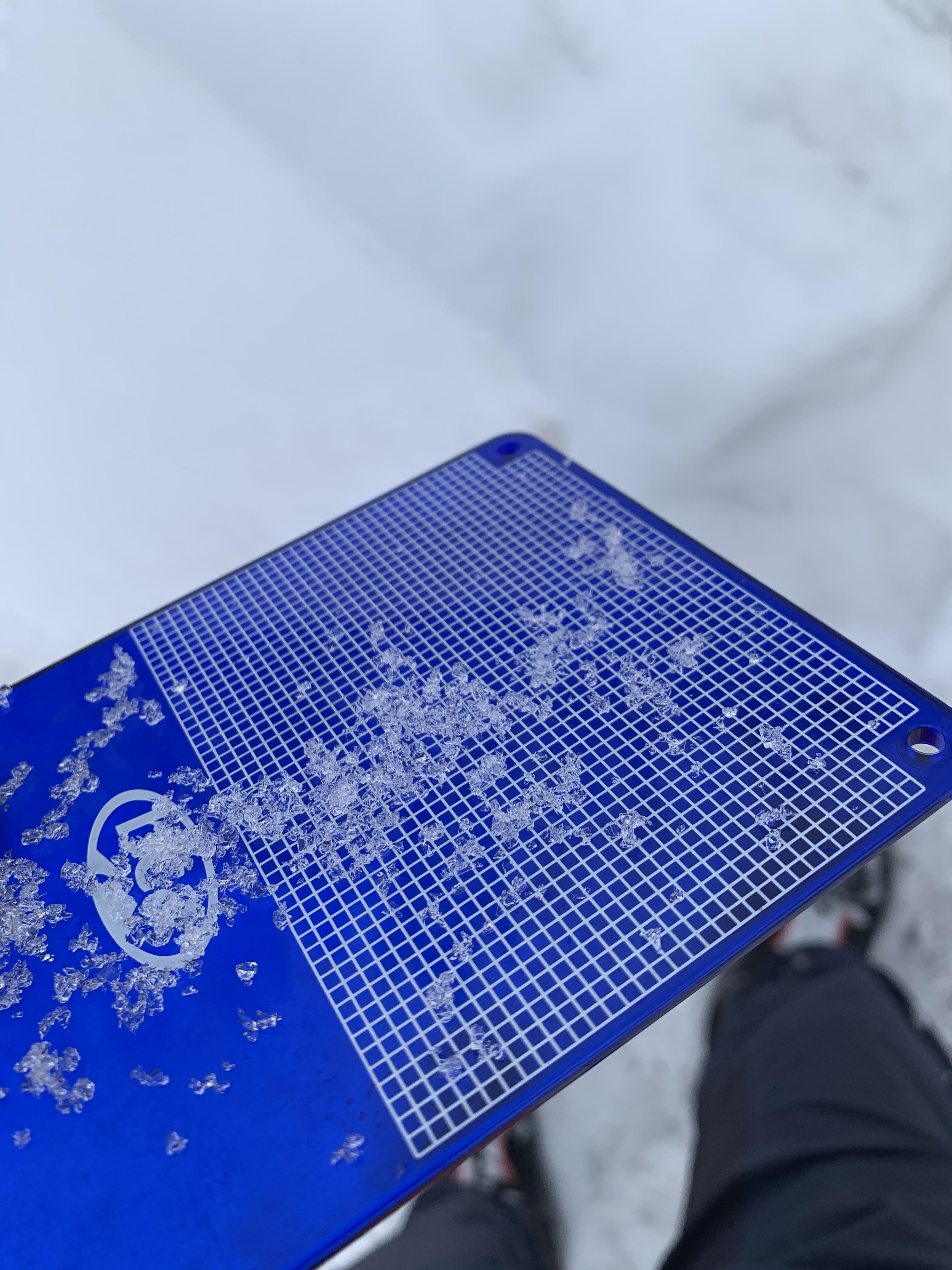
1 meter deep snowpack showing the obvious facets in the bottom third
-
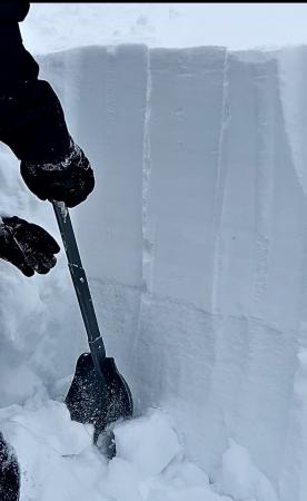
We dug a pit on an East facing aspect below the slope we had planned to ride. The height of snow was about 110 cm and there was a very concerning layer of large facets at 75cm deep going to the ground. Photo: C Culver
-
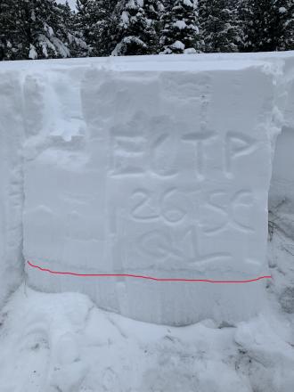
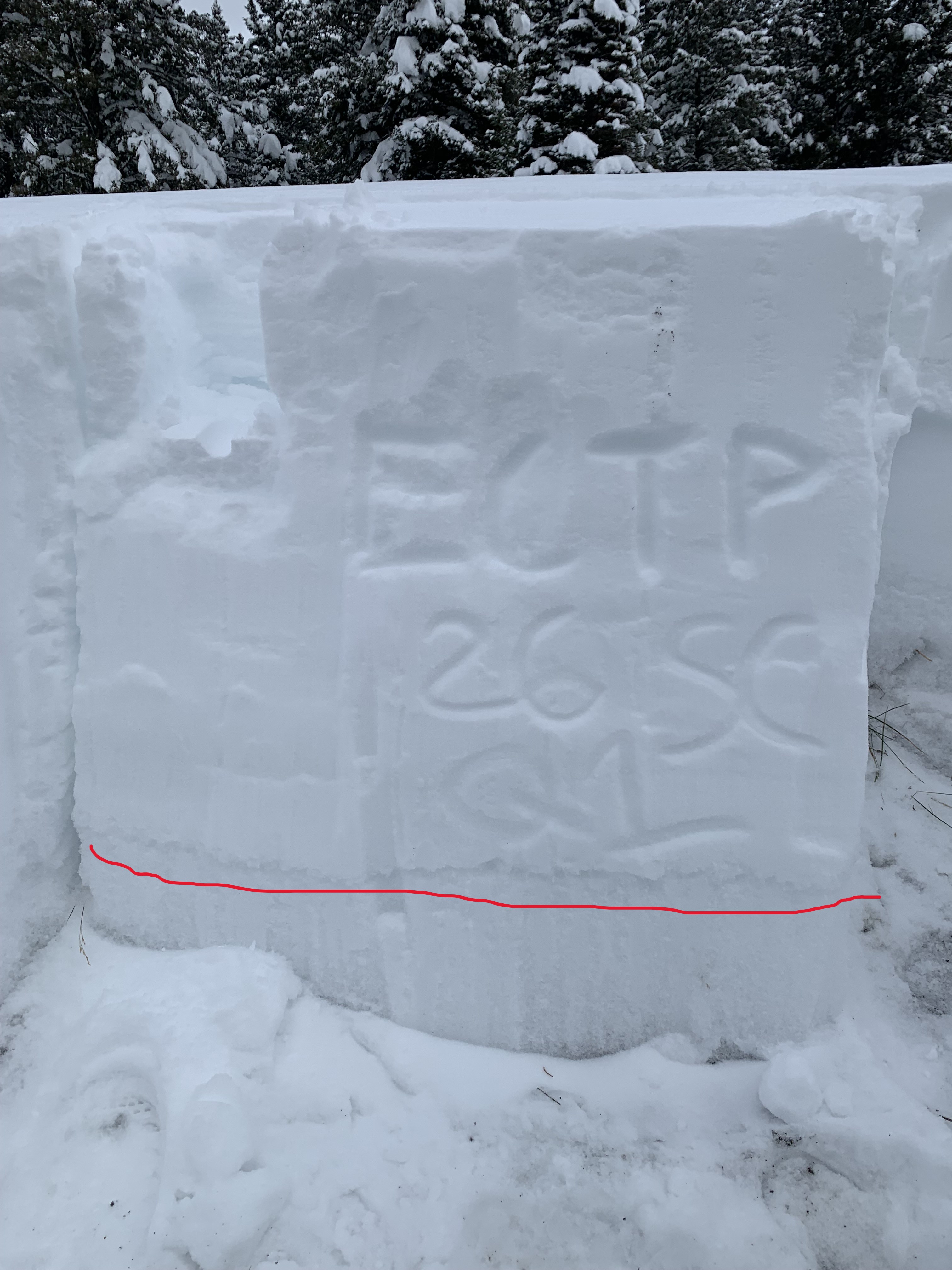
Our results were CT17 SPQ2 and ECTP26 SCQ1. Bother failures during tests were on the layer of facets and on the CT and ECT our columns easily separated from the facet layer after failure. Photo: C Culver
-
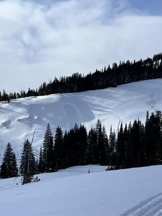
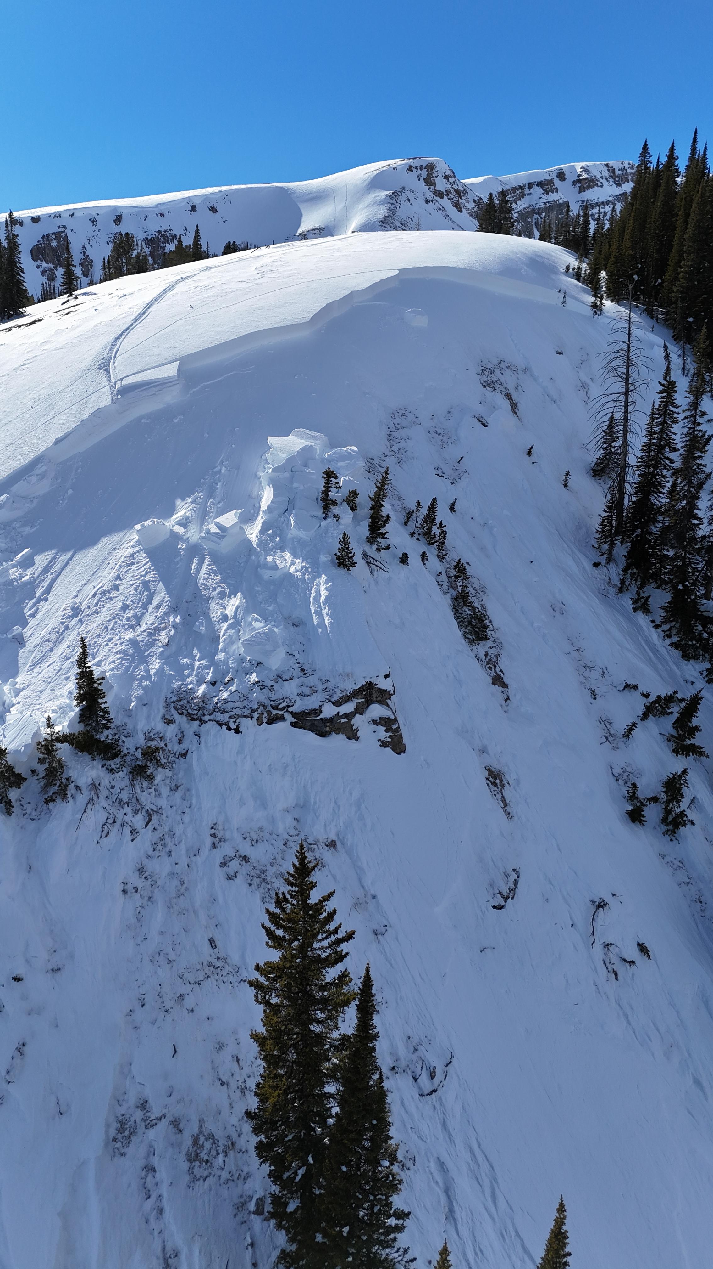
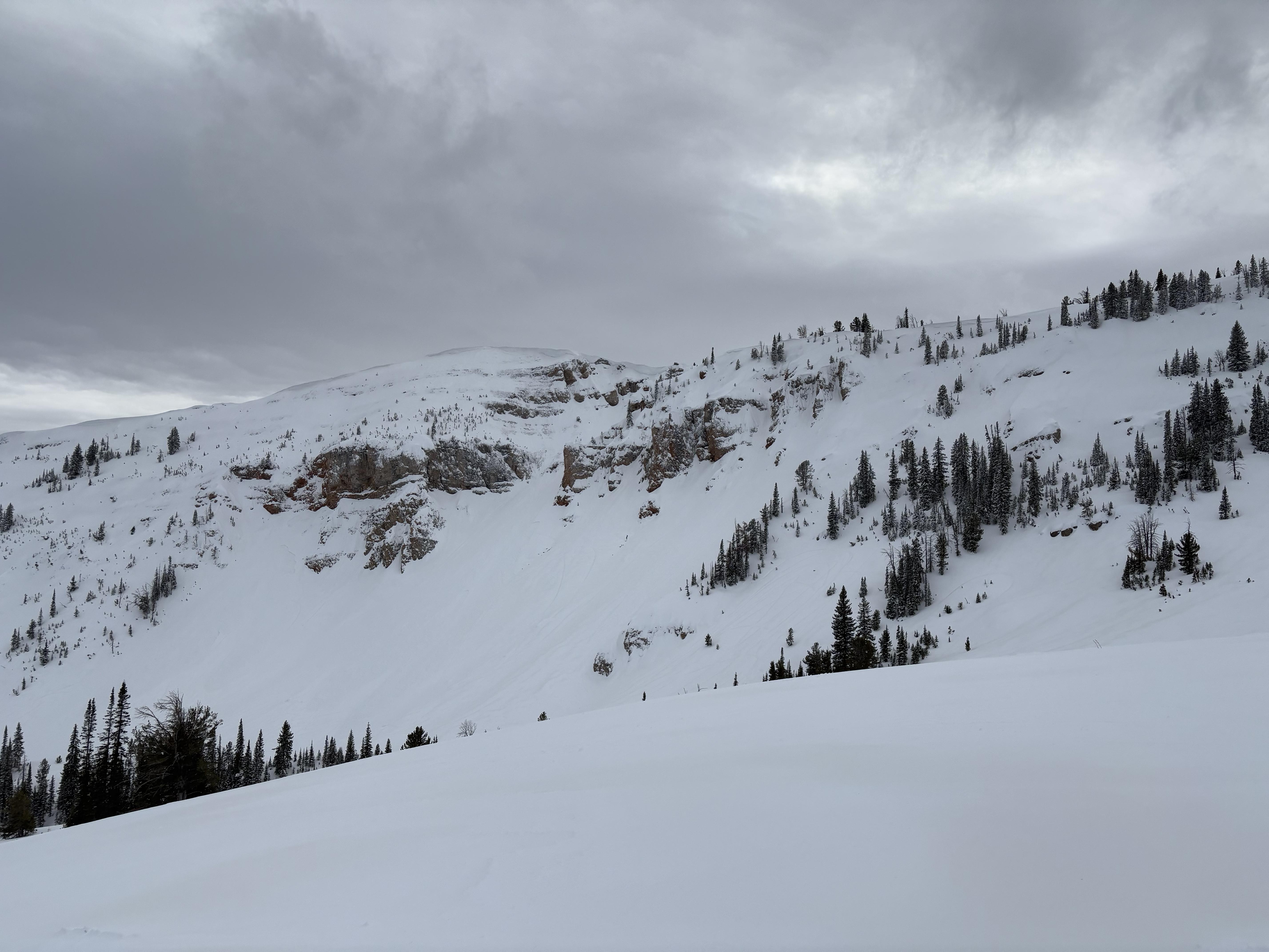
On Jan 12, we saw 4-5 avalanche crowns that were up to a week old, some had been reported and a few we had not heard of. Two were ~2' deep on less wind affected slopes lower down in the trees, but probably had some previous wind-loading. Photo: GNFAC
-

On Jan 12, we saw 4-5 avalanche crowns that were up to a week old, some had been reported and a few we had not heard of. Two were ~2' deep on less wind affected slopes lower down in the trees, but probably had some previous wind-loading. Photo: GNFAC
-

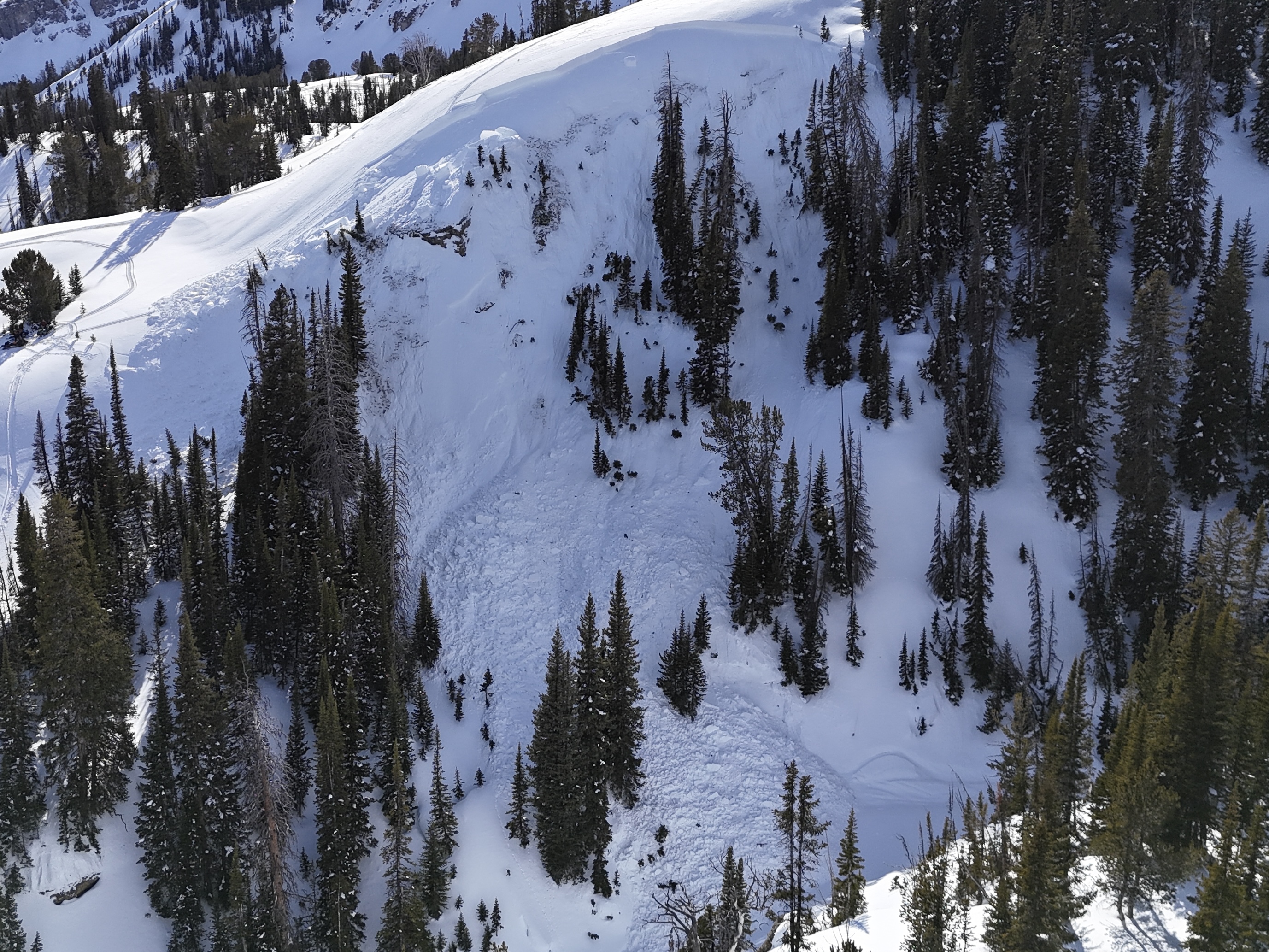
On Jan 12 We saw 4-5 avalanche crowns that were up to a week old, some had been reported and a few we had not heard of. The pictured one was a 3-4'+thick slab on a rocky heavily wind-loaded slope off Lionhead ridge. Photo: GNFAC
-
-
From IG Jan4, Photo: J. Urell
-
From IG Message Jan 4."They happened today because I did not see the debris on way in". Photo: T. Urell
-
Remote triggered this avalanche at Lionhead. We were snowmobiling to the left of where the avalanche occurred. No one was caught.
Coordinates: 44°43'36.8"N 111°19'05.0"W
Photo: Ben
-
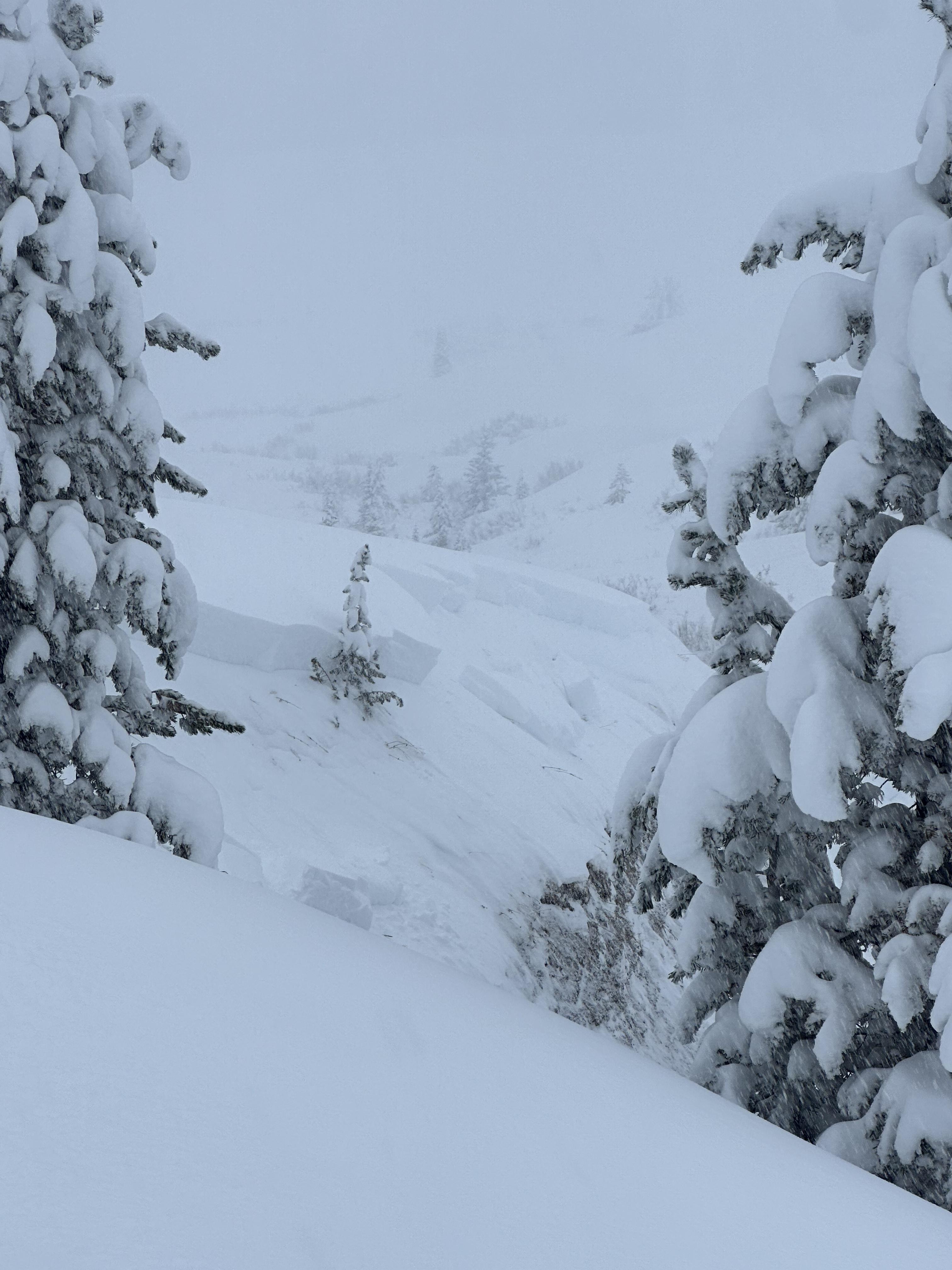
Settling and collapsing on E-NE slopes above Hebgen. Full slope collapses and cracks, approximately 28 degree slope pictured.
Photo: C Koch
-
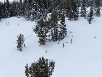
While touring up a low-angle ridge in the northern Lionhead, I experienced several large collapses, notably one that triggered a cornice fall from 50’ away. Another remote collapse caused about 500’ of an E facing bowl to propagate, but not slide. ~9200’ E-SE
Photo: N Sramek
-
While touring up a low-angle ridge in the northern Lionhead, I experienced several large collapses, notably one that triggered a cornice fall from 50’ away. Another remote collapse caused about 500’ of an E facing bowl to propagate, but not slide. ~9200’ E-SE
Photo: N Sramek
-

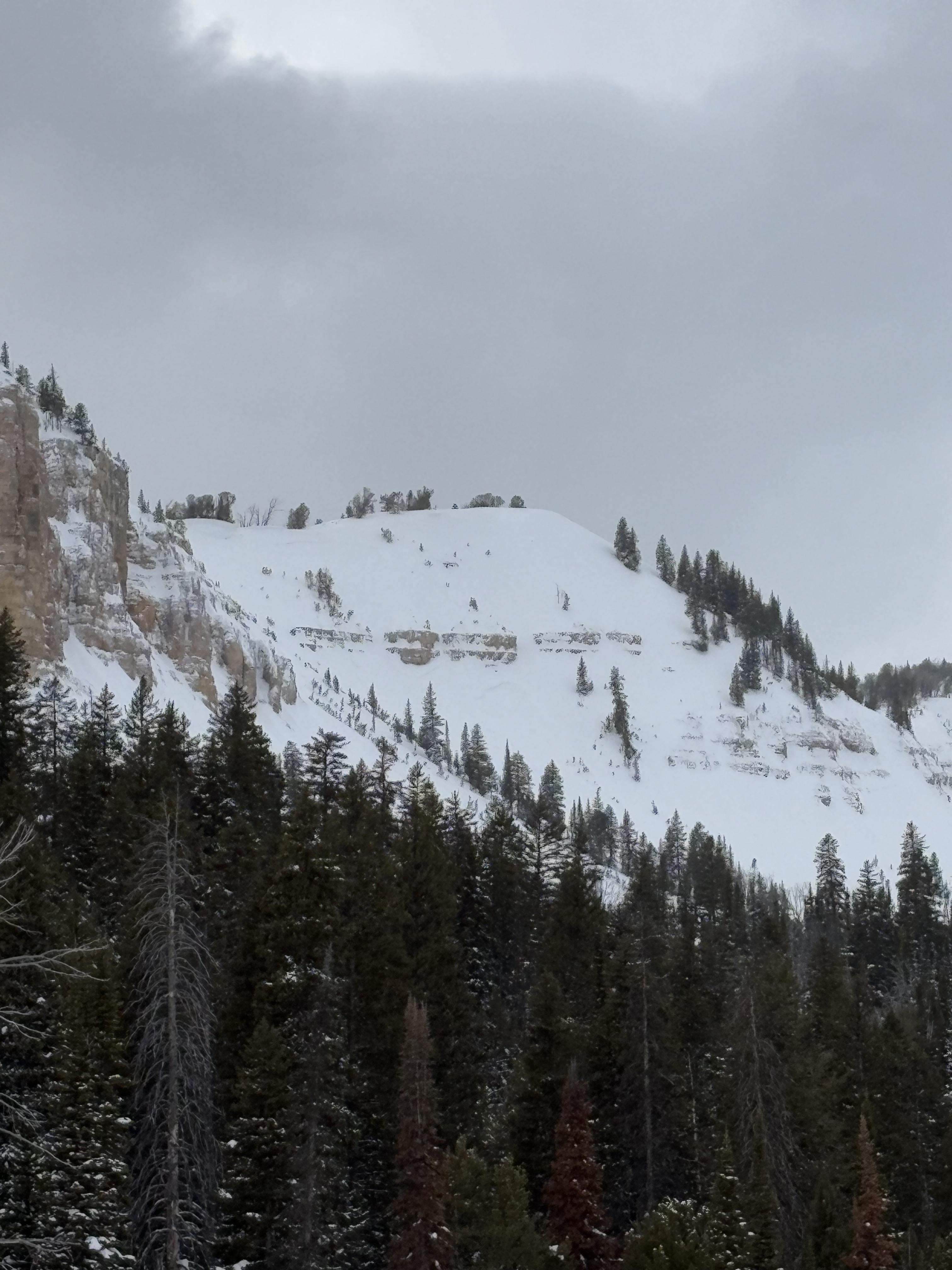
There was a natural avalanche on the landslide face above quake lake. The avalanche failed on a weak layers near the ground and broke several hundred feet wide.
-
From obs on 12/29: "On our way out near the cabin I cut a line close to a creek to see if I could trigger something."
-
From obs on 12/29: "On our way out near the cabin I cut a line close to a creek to see if I could trigger something."
-
Occurred during the day on 12/28 Photo: GNFAC
-


Videos- Lionhead Range
Weather Stations- Lionhead Range
Weather Forecast Lionhead Range
Extended Forecast for10 Miles WNW West Yellowstone MT
Overnight

Low: 46 °F
Mostly Clear
Saturday

High: 71 °F
Sunny
Saturday Night
Low: 51 °F
Mostly Clear
Sunday
High: 73 °F
Sunny
Sunday Night
Low: 53 °F
Mostly Clear
Monday
High: 73 °F
Sunny
Monday Night
Low: 49 °F
Chance
T-storms then
Slight Chance
ShowersTuesday
High: 67 °F
Slight Chance
Showers then
Chance
T-stormsTuesday Night
Low: 46 °F
Chance
T-storms then
Partly Cloudy
The Last Word
We ended our 35th winter in operation after 141 forecasts and ZERO avalanche fatalities, the second winter in a row with no avalanche deaths. The last time this happened was 1988 and 1989. It’s been an incredible season.
Thank you for all your support! Our success is directly related to support from our community and the Forest Service. Thanks to the readers of the forecast, everyone that sent in observations, took an avalanche class, or donated money, time or gear. Have a safe spring and summer!